You are here
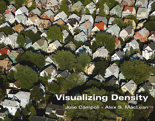
Back to topVisualizing Density (Paperback)
$75.00
Email or call for price
Email or call for price
Description
This best-selling and richly illustrated book by landscape architect Julie Campoli and aerial photographer Alex S. MacLean helps planners, designers, public officials, and citizens better understand how residential density can help save energy, dollars, and the environment.
About the Author
Julie Campoli is a landscape architect and urban designer and the principal of Terra Firma Urban Design in Burlington, Vermont. She has received grants from several foundations, including the National Endowment for the Arts and the Graham Foundation, for her studies of land settlement patterns.
Alex S. MacLean is the founder and principal of Landslides Aerial Photography based in Cambridge, Massachusetts. Trained as an architect at Harvard University Graduate School of Design, he has been a pilot and photographer for more than 25 years, documenting the history and evolution of the land and the changes brought by human intervention.
Praise For…
“This beautiful book by Julie Campbell and Alex S. MacLean is an excellent reference for coming to grips with that slippery but important issue, density. Density can have both positive and negative connotations—and effects—depending on its context and execution. The photos in Visualizing Density illustrate this wonderfully, and can help us get a better mental grasp on the variety of ways people can live at a variety of different density levels.”
— Post Carbon Cities
“This vivid and visual book is one of the essential guides to understanding the concept of density. It provides aerial photos and street pattern maps for the entire range of housing density in America from 0.2 units per acre in Beverly Hills to nearly 300 units per acre in New York City. In this book version of the 2007 Planetizen Top Website 'Visualizing Density,' Campoli presents accurate descriptions of density and land use patterns in the United States, and offers the stepping stones to planning and designing for a society of greater density. MacLean’s beautiful and varied aerial photography gives an impressive view of hundreds of parts of the country and, at the same time, a disturbing look at the wasteful development pattern that has persevered in the U.S. for decades.”
— Planetizen's Top 10 Books of 2008